Title Explanation
Using the annual spring bloom of phytoplankton in the Gulf of Maine as a laboratory, this project delivers to the community an improved understanding of the variability and uncertainty in satellite monitored carbon cycling through analysis of underwater data measured by autonomous gliders.
Funded By:
NASA
| Location: Western Gulf of Maine
First Launch Date: March 13, 2009 End of Experiment Date: May 27, 2009
Principal Investigators: Contact Information:
|
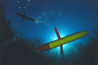
SLOCUM GLIDERS, Photo Credit: Webb Research Corporation |
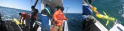
| SPRING 2009 GLIDER MISSION
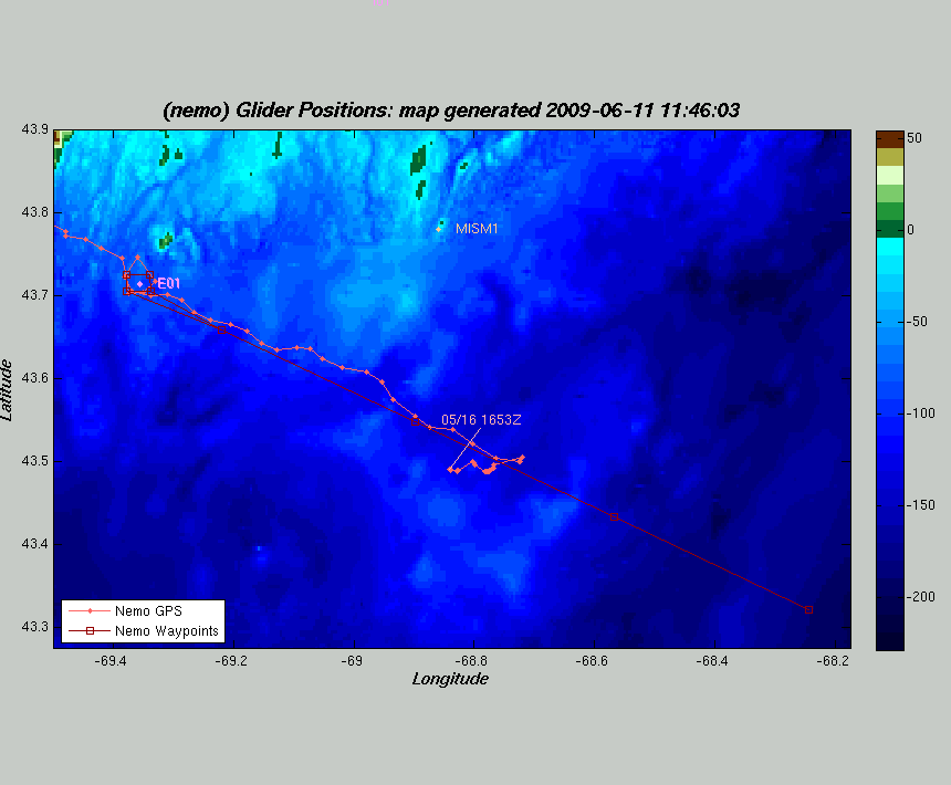
Maps of Real-Time Glider Position:
Nemo
Dory Satellite Data: March April May More Information About Slocum Gliders
|
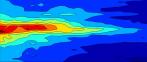
PHOTO GALLERIES & DATA PLOTS |
SCIENTIFIC PROJECT DESCRIPTION
|
Reducing Uncertainty in the Marine Carbon Cycle by Coupling Satellite and In-Water Robotic Measurements School of Marine Sciences oceanographers are currently carrying out a coupled underwater glider – above-water satellite remote sensing study of the phytoplankton Spring Bloom in the Gulf of Maine. From mid-March to mid-May one of the two UMaine gliders – either Nemo or Dory – will run transects between GoMOOS Buoy E and Wilkinson Basin. Both gliders have sensors that measure chlorophyll fluorescence (proxy for phytoplankton concentration), colored dissolved material fluorescence (CDOM, proxy for dissolved organic carbon), optical backscattering (proxy for particle concentration), temperature, salinity, and oxygen. In addition Dory measures spectral upwelling and downwelling light. Additional optical and chemical measurements will be measured at GoMOOS Buoy E on the glider deployment / retrieval cruises to validate the optical proxies for carbon-cycle components. Stratification indices will be computed to assess the role played by stratification in the evolution of the bloom. Satellite imagery of ocean color and sea-surface temperature will be collected using the satellite antenna of the roof of Aubert Hall and analyzed for water-leaving radiance, standard pigment products, optical backscattering coefficients, colored dissolved and particulate detrital concentrations. Together, the glider and satellite data will be merged to generate a new 4-D (space and time) view of the evolution of the Spring Bloom in the Gulf of Maine. While local in scope, this project provides critical insight into reducing major uncertainties about both the Gulf of Maine and the global carbon cycle. Four major challenges to accurate space-based assessment of marine productivity that can be addressed today with existing underwater glider technology are: 1) verification of derived products within different bio-optical regimes; 2) determination of key biogeochemical stocks in the entire euphotic zone; 3) actual measurement of input variables for productivity models; 4) continuity of stock measurements during periods of cloudiness. The coupling of underwater measurements from gliders with satellite data will improve accuracy in quantifying key biogeochemical stocks and input variables for satellite-based productivity models. The expected outcomes of this study are a reduction in uncertainty in productivity estimates on the local level and a demonstration of how the coupled use of satellites and in-water robotic gliders can be best used to reduce specific components of uncertainty. |
|
|